These corrections have been listed by page number. They have been provided by the author and various other users of the guide. If you have any corrections that you believe are relevant please send them to Tracey Skinner at admin@osp.com.au. Corrections in black text have already been added to our Rockclimbs Around Melbourne iPhone app.… Continue reading Rockclimbs Around Melbourne Corrections
Author: Open Spaces
Information, updates and news items are supplied by Open Spaces administration and may be sourced via our staff, authors, clubs and various land managers such as Parks Victoria.
Walk 80 (Dandenong Ranges)
Walk 80 (Olinda Falls) The northern half of VW Track has been permanently closed which means that this walk cannot be completed as described. See p.193 and use this map to continue walking down Olinda Creek Road to return via Bartlett and Barges Track. This will add at least 2km to the total distance as… Continue reading Walk 80 (Dandenong Ranges)
Rockclimbs Around Melbourne – new guidebook out now!
Open Spaces today released the new Rockclimbs Around Melbourne guide by Glenn Tempest. It will be available in most good climbing shops and in our online bookshop from today at a RRP of $29.95. This full colour selected climbs guide is 156 pages and has been produced in a unique landscape format to better cope… Continue reading Rockclimbs Around Melbourne – new guidebook out now!
The Burchell Trail Update (Brisbane Ranges)
The Burchell Trail has seen some major realignments. These changes effect a number of walks in our Daywalks Around Melbourne and Weekend Walks Around Melbourne guides. These changes are indicated on the new 1:30,000 Brisbane Ranges National Park map by Meridian Maps. Anyone undertaking the Burchell Trail or walks utilising sections of this walk should… Continue reading The Burchell Trail Update (Brisbane Ranges)
ESTA
Since we discussed Mobile Phones and Emergency Numbers we received a few queries as to who exactly is the Emergency Services Telecommunications Authority (ESTA) and what is their function. In Victoria the emergency service dispatch and call-taking for police, metropolitan ambulance, and both rural and metropolitan fire services, is handled by the Emergency Services Telecommunications… Continue reading ESTA
Wild Magazine covers Mt Giles
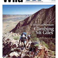
The new issue of Wild magazine (119) is hot off the press and features a spectacular cover shot by our own Glenn Tempest. The image captures Karen Tempest, Michael Hampton and Stuart Imer ascending the classic South Ridge of Mt Giles in the remote Chewings Range, West MacDonnell National Park in the Northern Territory. The… Continue reading Wild Magazine covers Mt Giles
Parks Victoria Entry changes
Just reminding everyone using our walking guidebooks that entry to all Victorian parks (managed by Parks Victoria) is now free. This came into effect on the 01 July 2010 and marks a major policy shift for Parks Victoria. Wilsons Promontory National Park Point Nepean National Park Werribee Park Mount Buffalo National Park Baw Baw National… Continue reading Parks Victoria Entry changes
Walk 61, 62, 63, & 64 (Marysville)
Walk 61, 62, 63, & 64 (Marysville) Walk 61 (Island Hop & Red Hill) is now open. Walk 62 (Keppel Lookout & Stevenson Falls) is largely closed. Yellow Dog Picnic Area and Stevensons Falls are closed as is the walking trail linking them. The walking trail to Oxlee and De La Rue Lookouts from Keppel… Continue reading Walk 61, 62, 63, & 64 (Marysville)
Walk 4 (Painkalac Dam)
According to Parks Victoria: Closures due to upgrade of Painkalac Reservoir Spillway No access to Painkalac Reservoir until late 2010. Walking track from Distillery Creek Picnic Ground to Painkalac Reservoir closed until late 2010. Walking track leading from Moggs Creek Picnic Ground to Gentle Annie Track remains open. Walking track through reservoir from Distillery Creek… Continue reading Walk 4 (Painkalac Dam)
Ben Lomond Guide update
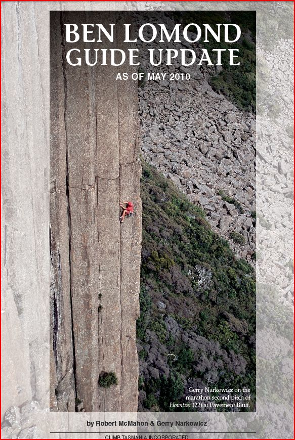
Memory Of A Journey, the climbing guide to Ben Lomond, was published in November 2008. For those of you who already own the guide and have climbed at Ben Lomond, you will know that it is the premier crack climbing venue in Australia. For those having a look at this update out of curiosity or… Continue reading Ben Lomond Guide update
