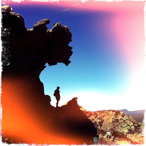
I’d been planning to walk the Mt Stapylton Loop for the last year or so and it was only last week when I finally got the chance to do so. For anyone unfamiliar with the Grampians National Park, this 12.2km circuit walk traverses a series of exposed sandstone peaks and shallow valleys in the parks drier northern extremity. The Wimmera surrounds this rugged massif and it doesn’t take much imagination to visualise how, in the not too distant past, the sea once lapped right up to the cliffs and boulders.
I left the Stapylton Campground at about 8am. It was a little earlier than I’d planned but I hadn’t accounted for nature’s alarm clock; a few dozen screeching cockatoos flying over my tent at 6am. The trail passes through low scrub for about 15min before crossing Pohlner Road. There are great views of the Mount of Olives, a tower of ochre-coloured rock, which reminded me of a rather more sad and weary version of the Pharos at nearby Mt Arapiles. By the time I reached the top of the range the sun had risen high in the sky and I was sweating from the climb. Here the trail reached an intersection and I turned north, a gradual ascent leading up through low bush.
After an hour or so I reached a major trail junction. Here I met a group of walkers who had come up from Mt Zero Picnic Area and were sitting on the rocks trying to figure out which way to go. All of the trail signs were laying in the trees, having been pulled from the ground. Why anyone would want to do this is beyond me. I pointed them in the right direction and they happily set off towards Stapylton Campground. I on the other hand continued on up towards the top of Mt Stapylton. The trail weaved its way up the northern side of the rocks before sidling up to a rocky ridge. Here a metal sign indicated that walkers should only proceed in good weather. No problem today.
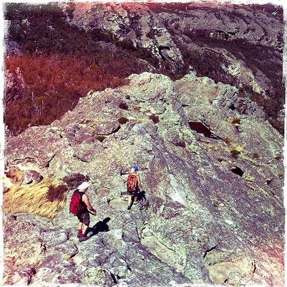
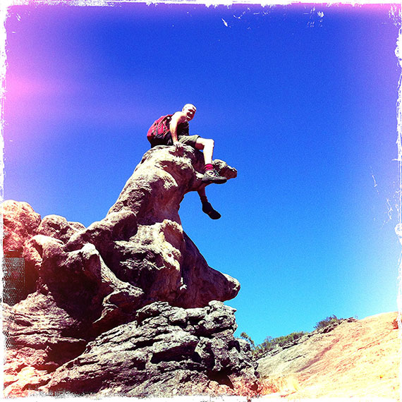
The final scramble to the top is easy but exposed. In wet or windy conditions I would seriously think twice before attempting the ascent. A couple of years ago my partner and I arrived on the summit as black storm clouds gathered and a hot wind gusted from the north. Our hair stood on end and we could feel the crackle of electricity in the air. Needless to say we retreated immediately, managing to reach the safety of the trees just as the heaven’s opened up and the rain came pouring down. This time I arrived on top in perfect conditions. Fluffy clouds billowed above me and a lone kestrel danced on the breeze.
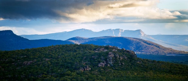
Mt Stapylton is only 518m above-sea-level but its isolated rocky mass and commanding position makes it one of my favourite viewpoints in the Grampians. Off the the northwest I could see Mt Arapiles and its distinctive tiny neighbour, Mitre Peak, rising above a sea of wheat stubble. As I turned counter-clockwise I could make out the bluffs of the Black Range and, almost abutting it, the entire backbone of the Grampians National Park as it stretched, broken and twisted, south towards the coast.
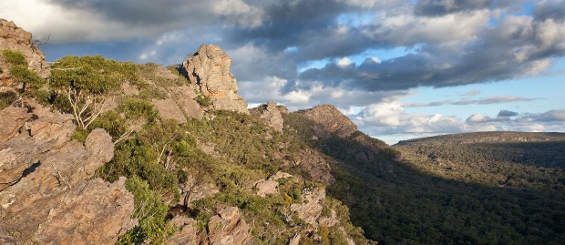
After an hour dozing in the sun I reluctantly left the summit and started down. Back at the junction I continued along the trail towards Mt Zero Picnic Area. The walk descends long rocky ramps past Bird Rock and underneath Taipan Wall, a soaring bastion of overhanging red rock, before meandering through the Mt Stapylton Amphitheatre. At the Mt Zero Picnic Area turnoff I pushed on a little further to the top of Flat Rock. This short diversion allowed me to look back into the amphitheatre and view the half-moon escarpment as it started to reflect the late afternoon sun. The final 4.4km of sandy trail led me down from the amphitheatre and back along the range underneath the Mount of Olives to where I rejoined my footsteps from earlier in the day at Pohlner Road. By the time I arrived back at Stapylton Campground the sun was low in the western sky and I was low on energy. Definitely time to warm up in front of the camp-fire and refuel.
Check out my other blog on the Hollow Mountain / Mt Stapylton Circuit Walk and associated images on my SmugMug site here.
