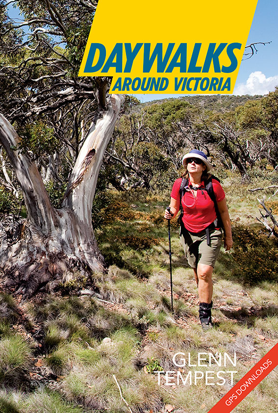
It also marks a major step towards our aim to combine traditional book publishing with online content and compatibility. Daywalks Around Victoria is the first book of its kind where each walk can be freely downloaded as a GPX file for use in a hand-held navigation device, or as a KMZ file to be opened directly in Google Earth. Daywalks Around Victoria features 36 walks that I feel best represents Victoria’s diverse and often unique geographical regions. Many of these walks have been popular to generations of Victorian walkers while others are almost unknown. I have no doubt that some of these walks are among the best of their kind in Australia. Like our previous titles Daywalks Around Victoria will have dedicated update pages on our web site at osp.com.au where readers will be able to check on trail closures, changes in conditions or approach issues. Daywalks Around Victoria is has a RRP of $29.95 and will be available in all leading outdoor equipment stores in Victoria and from our online bookshop here.


The GPS tracks are excellent. I’m using them on my IPad with MotionX app.
I particularly like the tracks that still have time info attached. It gives a very good idea of how long each walk will take.
Stephen
Thanks Stephen. It will be interesting to see how many people download our GPS tracks from this title.
Well done Glenn and team on your new daywalks book. We have only recently started doing walks on the weekend and your daywalks around Melbourne has also been a great resource. Received your new book this week and set off on the Brisbane ranges walk today. It’s a beautiful spot and thoroughly enjoyed the walk, although as expected the Sutherland creek section has quite extensive debris. The gps download was great and worked a treat on the iPhone motionx app.
Thanks Glenn and team for the new book. Was out at Pyrete Range (Walk 19) on Saturday following the route and really enjoyed it.
The creeks were running pretty dry but scenary was great. GPS is pretty mandatory on that walk, particularly for navigating back up the gully.
Found the waypoints loaded into your tracks to be an added bonus, and really useful.
Also, have already completed Walk 3 out the back of Lorne a couple of weeks back, which is a favourite of mine.
Dear Glenn,
First a big thank you for the wonderful walking days you have given our small group through your excellent walking books.
We did the Pyrites Creek walk (#19) last Sunday. Whilst the creek was just running, the walk was very enjoyable – with the antimony mine and the wire bridge being unexpected and interesting extras.
A compass and good map came in very handy for the walk up Wobbly Gully, especially as there was no orange marker or cairn evident at the 10.9 km creek junction waypoint. Further confusion could arise here as a large, fallen tree lies across the correct path.
Also, some care is needed at the large, triangular shaped grassy field before the 10.9 km point, as the marker has disappeared (but the two nails remain in the small tree).
All good navigational fun.
On the other hand, the exit point in the gully (up to the small saddle) is very well marked (orange markers and cairn) – as is the whole track from there to the fence line.
We will definitely be exploring the Pyrete Ranges area further(even though your various Lerderderg walks have long been our favourites).
Thanks again,
Hi Alex,
I walked down Wobbly Gully about 3 weeks ago and was surprised to see a big tree having fallen over the trail at the 10.9km creek junction. We relocated one of the orange markers onto this tree to make it easier for people to see the correct path. Maybe the marker has gone already. It really needs a chain saw. I also have a feeling that a couple of the markers have been removed along the way by unknown persons. A shame if this is happening. Glad you enjoyed the walk though. It’s one of my favorites close to Melbourne and is especially colorful in spring when all of the flowers are out and the grass is green.
Did walk 17, Clearwater Creek last week. Came in via McKenzie Track instead of Lerderderg Track. The notification from the gps at the entrance of The Clearwater Creek is extremely useful. Together with other resources such as gps coordinates, maps, tracknotes, and features of the area, the notification confirmed exactly where I was. Such a great navigational device! Enjoyed the walk.
Bought a copy after seeing Glenn’s article in the Wilderness Shop newsletter. We intended to do #19 Pyrites Creek on Sunday, but due to the rain on Saturday (and the warnings to avoid it in such circumstances), we did a different Pyrites Creek walk (from Tyrone’s 150 walks book) instead.
Have to say I’m seriously impressed by the book. It’s beautiful to read, the layout is great, there is a *lot* of information to help decide which walk to do. Best of all for me, is many of the walks seem quite innovative, with off-track walks (can’t wait to do #20 Mt Kooyoora) and off-the-beaten-track walks (ditto #33 Mt Cobberas).
The .gpx downloads are a huge bonus – no more stressfully wondering whether you’ll spot that “minor, overgrown trail barely visible through bushes to your right and easily missed”.
I particularly like that they’re all proper “day walks” – all except one are listed as 4-7 hours.
Also, the maps are really, really good. Comparing them to Tyrone’s 150 walks is chalk and cheese – the route clearly stands out against the contours, alternative routes are clearly marked etc etc.
I’m struggling to think of any suggested improvements, which isn’t like me at all. Basically, I’m excited, and inspired to get out and get through them all now