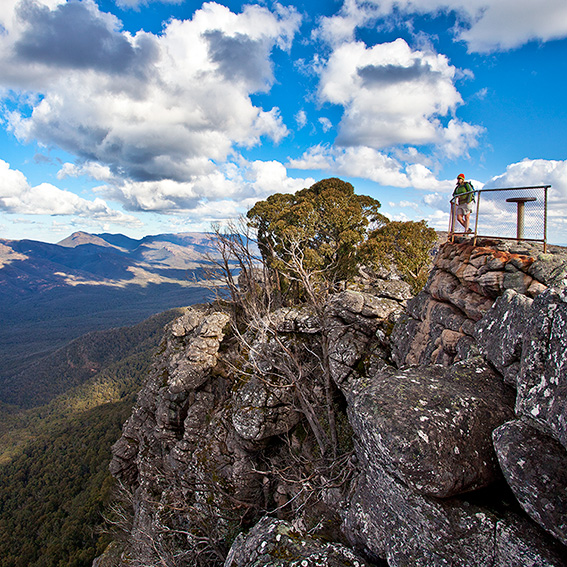
Just finished chatting with David Roberts, Ranger in Charge of the Grampians National Park. Regular readers may remember the piece we did here on the Grampians Peaks Trail in July 2010. The proposed walking trail was to link Mt Zero in the north to the town of Dunkeld in the south, covering a distance of approximately 150km. This was easily the most exciting new walking trail project to have been planned in Victoria since the completion of the Great Ocean Walk in 2005. Unfortunately nature intervened with the January 2011 floods and many walkers feared that the initial $1.6 million in funding would be withdrawn or redirected elsewhere. Thankfully this was not to be the case. David said that the final alignment of the trail was happening right now and that he envisaged construction of the initial three-day walking loop (from Halls Gap, through the Wonderland Range, across Mt Rosea to Borough Huts Campground and back at Halls Gap) would begin within 3 months. Two hiker camps will be constructed along the way.
This really is great news for what will hopefully become one of Australia’s premier long distance walking trails. The Victorian Government have also approved another $1.4 million for the next stage of the trail through 2012 to 2014.
Yes great news that at least things are getting started! Note that the track will be called the Grampians Peaks Trail so please add that “s”.
You are quite right Monica. I took the spelling from the Parks Vic website since you would think they would get the spelling right. No chance. Received official confirmation that the walk is as you say called the Grampians Peaks Trail. Have now amended the blog.
is there any chance of seeing a map of the proposed route?
dont suppose you know if it could be hiked in sections each day so those not wanting to camp can escape down to a car park possibly doing a car shuffle between segments?
We have requested a mud map of the walk, but it has not yet eventuated from Parks Victoria. I’ll see what else I can do. And yes, the Grampians Peaks Trail will have lots of loops so that day walkers will enjoy the trail also.
Thanks Glenn.
Guess with the flood parks have had their hands full with repairs for quite some time so info and updates on the peaks trail have taken a bit of a back seat.
If you do manage to find out more about the proposed route that would be great to see 🙂