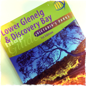
Open Spaces sells a number of the highly regarded Meridian Maps so we thought it a good opportunity to share the news of their latest map release. In their first map co-production Meridian Maps and Carto Graphics have produced a double sided 1:50,000 topographic scaled map that covers the Glenelg River from Dartmoor down to… Continue reading Meridian Maps & the Great South West Walk
Tag: emergency markers
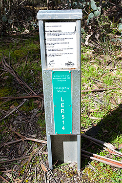
Lerderderg Gorge Emergency Markers
IMPORTANT UPDATE: All of the original EMERGENCY SIGNPOSTS in the gorge have been replaced with new EMERGENCY MARKERS by ESTA (Emergency Services and Telecommunications Authority). Of major concern, however, is that the original numbering has been changed. The old (original) numbering is still in use in a number of available publications, including two of our… Continue reading Lerderderg Gorge Emergency Markers
Lerderderg Gorge Walk (p80)
This walk has changed very little over the last few years. Unfortunately, the continuing dry conditions has reduced even the largest pools of water to little more than puddles. There is still plenty of water available (much of the river now trickles under the pebbles) but do remember to take a filter kit. In the… Continue reading Lerderderg Gorge Walk (p80)
Walk 34 (Whiskey Creek Circuit)
Some walkers have had difficulty finding the continuation of the trail at where it crosses Cowan Creek. The confusion stems from the fact that the trail divides about 50m before the creekbed. The trail straight ahead has now been closed (probably because it is steep and very eroded). The much better and easier trail heads… Continue reading Walk 34 (Whiskey Creek Circuit)


