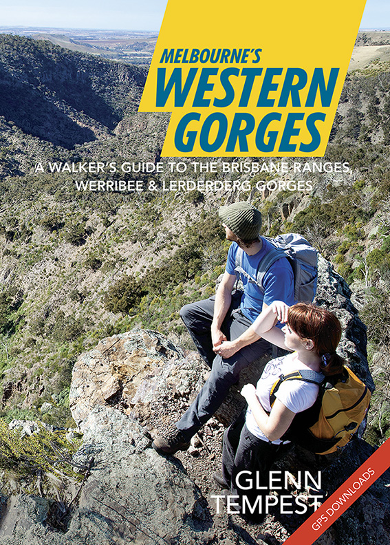
Great news. Our newest title, Melbourne’s Western Gorges, arrived in our warehouse this morning and will be in the shops from tomorrow. Authored by Glenn Tempest, this is the first in a new A5 series of walking guides to regional areas around Victoria. Melbourne’s Western Gorges covers 20 walks in the Brisbane Ranges National Park,… Continue reading Melbourne’s Western Gorges On Sale Now
Tag: Lerderderg
Meridian Maps & the Great South West Walk
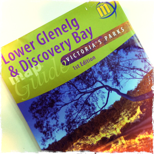
Open Spaces sells a number of the highly regarded Meridian Maps so we thought it a good opportunity to share the news of their latest map release. In their first map co-production Meridian Maps and Carto Graphics have produced a double sided 1:50,000 topographic scaled map that covers the Glenelg River from Dartmoor down to… Continue reading Meridian Maps & the Great South West Walk
Melbourne’s Western Gorges
Great news. Our forthcoming new title, Melbourne’s Western Gorges was handed off to the printers this morning. As long as there are no unexpected delays we expect to see it in our warehouse on the 09 December, just in time for Christmas. This will be the first in a new A5 series of walking guides… Continue reading Melbourne’s Western Gorges
Lerderderg Gorge Flood Damage
Karen and I completed a walk last weekend in Lerderderg State Park linking Short Cut Track, Trout Track and Clear Water Creek / Ambler Lane. We finished the walk along a short stretch of the Lerderderg River back to O’Briens Crossing. It was an excellent outing and will almost certainly be included in our forthcoming… Continue reading Lerderderg Gorge Flood Damage
The Pyrete Range (Lerderderg Gorge)
In recent months I’ve been spending quite a bit of time exploring the Pyrete Range, an isolated block of mountainous bushland on the eastern side of the Gisborne to Bacchus Marsh Road and a fairly recent addition to the Lerderderg State Park. Despite its nearness to the western suburbs of Melbourne (less than 15km) this… Continue reading The Pyrete Range (Lerderderg Gorge)
Razorback Spur – Lerderderg Gorge SP
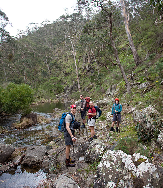
Last Sunday Karen and I teamed up with friend Stuart Imer to check out yet another circuit walk in the Lerderderg State Park. Joining us were NZ couple Nic Learmonth and her partner Chris, who have just recently moved to Melbourne. Right now the river is flowing so it was a good opportunity to see… Continue reading Razorback Spur – Lerderderg Gorge SP
Bears Head Circuit – Lerderderg Gorge SP
It’s hard to believe that so close to Melbourne exists such a gem of a park. The Lerderderg State Park offers a plethora of walk choices. We chose the Bears Head Circuit, a 15+k walk that keeps you interested from start to end. As all great walk stories must include, the weather was perfect. Starting… Continue reading Bears Head Circuit – Lerderderg Gorge SP
Lerderderg Gorge Emergency Markers
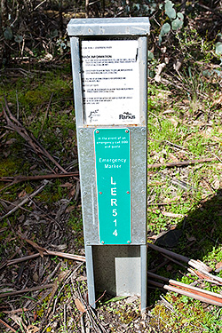
IMPORTANT UPDATE: All of the original EMERGENCY SIGNPOSTS in the gorge have been replaced with new EMERGENCY MARKERS by ESTA (Emergency Services and Telecommunications Authority). Of major concern, however, is that the original numbering has been changed. The old (original) numbering is still in use in a number of available publications, including two of our… Continue reading Lerderderg Gorge Emergency Markers
Lerderderg Gorge Walk (p80)
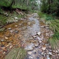
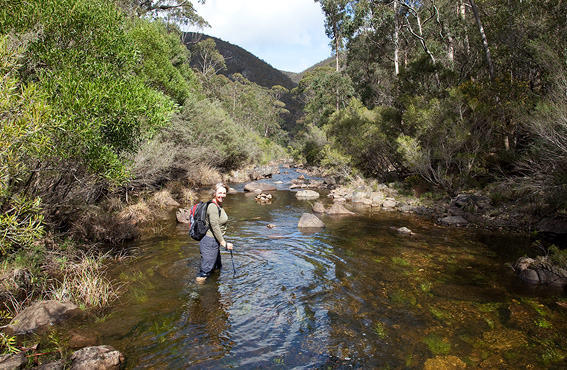
This walk has changed very little over the last few years. Unfortunately, the continuing dry conditions has reduced even the largest pools of water to little more than puddles. There is still plenty of water available (much of the river now trickles under the pebbles) but do remember to take a filter kit. In the… Continue reading Lerderderg Gorge Walk (p80)
Lerderderg Track (p68)
The Great Dividing Trail is closed (due to the February 2009 bushfires) south of Daylesford between Jubilee Hill and Leonards Hill Road. This is currently effecting about 8km of the trail. Note: There is a bus service running on a 12 month trial between Blackwood and Bacchus Marsh on Fridays. The bus leaves Bacchus Marsh… Continue reading Lerderderg Track (p68)
