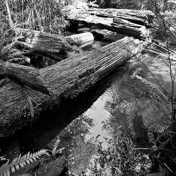
Each spring I set aside a day to walk the remarkable tramways that weave through the forested hills surrounding Poweltown in the upper reaches of the Yarra Ranges. In 1912 Poweltown was born when the Powell Wood Processing Company opened a large mill on the banks of the Little Yarra River. The steam train had arrived in nearby Warburton in 1901 and the timber industry flourished in its wake. Hundreds of men were employed to fell the tall trees, mainly to supply the rapidly expanding growth of Melbourne and Geelong. In those days it seemed that the forests stretched forever. This was an era of selective logging, long before mechanisation stole most of the timber-worker jobs and long before wood-chipping and clear-felling became the norm. Ninety nine years ago the loggers of Powelltown would cut the trees by hand, using cross-cut saws and axes. It was a dangerous game and loggers were a genuinely tough breed.
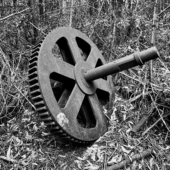
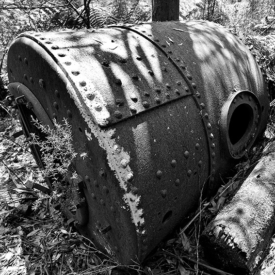
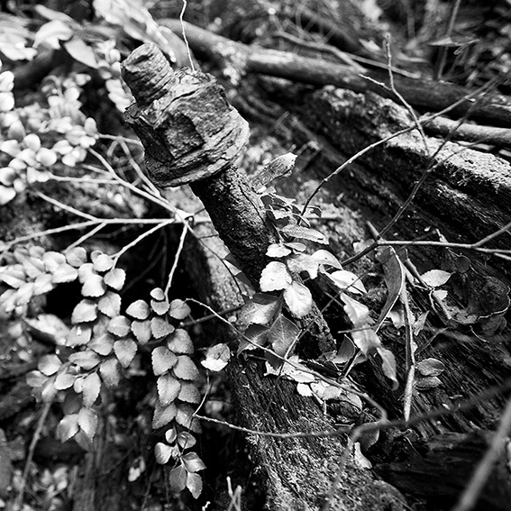 Steam-powered winches would pull the logs up through the forest to narrow-gauge tramways, which were used to transport the timber to nearby sawmills. One of the best walks in the area follows the Walk into History, which utilises various tramways linking Big Pats Creek with Starlings Gap and then on through the Ada Valley. Along the way there are plenty of reminders of the past. Occasionally you will find a collapsing trestle bridge balancing across a creek or gully, thick green moss hanging from its now rotting beams. Twisted metal tramlines hide among the leaf litter, sometimes still attached to their original sleepers. Large metal boilers, rusting bogies, pin couplings and various bits of machinery sit quietly beneath the blackwoods and mountain ash. Ninety nine years of history, slowly being swallowed by the bush.
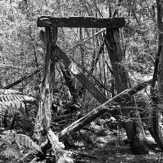

Revisited to the area early this year. The trestle bridge was still there and very much the same. Most of the ribbons were removed and a bit of time was spent to find it Enjoyed the walk from Starling Gap to Federal Mill Site.
Hi dplus. DSE really need to mark the trail across the creek. It also needs some sort of boardwalk to keep walkers out of the mud. Can’t see it happening for a while though.
I’ve heard this is a beautiful walk. Was it impacted by the bushfire from 2009?
Hi Saul. The 2009 bushfires didn’t impact on the walk.
Hi Glen
Did the walk last year in the spring time. Came across 4 snakes in half an hour of walking. One, a very nasty tiger. Not the place to be bitten by a snake. No quick way out of there. Great walk though.
Hi Mark. Wow, four snakes in half an hour. I must confess to having never come across any snakes along that trail but I imagine there are plenty about. Always gotta be careful. The leeches though are a different matter. These can be a real problem after rain. Hundreds of the buggers, as thick as your arm and 2 metres long. Ok, a bit of an exaggeration, but not by much. Maybe they were leeches you saw….
Hi Glenn,
Tried walking Ada Valley from Starling Gap as per your map 51. p.202.
After about 6km with the track deteriorating and eventually petering out at a point where two huge trees had fallen across a creek we lost the track and consequently could reach the 4-way junction.No signage at the start re track closure. Have you had any other feed back.As a seperate matter we have sighted snakes in the area on 2 other walks.
Regards Sandra & Peter
Thanks for the update guys. I last walked the trail along the Ada Valley when I researched the Walk into History walk that I included in our Daywalks Around Melbourne book. I guess that was just over a year ago. There was no problems with the trail at the time (although I did have to do a bit of snipping here and there). One of the creeks was certainly a bit of a mess and was very muddy underfoot. This time I used a GPS to accurately measure the distance to the 4-way junction and it was 7.6km (not the 6km which I indicated in Daywalks Around Melbourne. It doesn’t suprise me that when trees fall over on the trail it will take a long time for DSE to clear them. Anyone who reads my blogs will know how I feel about the poor condition of many of Victoria’s walking trails. Most land managers don’t have the resources to maintain trails. Interesting about the snakes though. I suspect gaiters would be useful.
Nice photos, but disapointing that there is no caption to indicate just what the items are part of, and which tramway or sawmill they were part of.
Using your guidebook we did the Starlings Gap – Ada – High Lead – Big Creek Rd hike yesterday and it was fantastic. A bit muddy in parts but nothing difficult. The long-hewn log boardwalks are a huge help (and atmospheric as they meander across the bogs). The track is very obvious and easy to follow.
Started at Starlings Gap, hiked to Federal Crossing, turned right to High Lead and explored the fascinating Ada site, discovered lots of evidence of the old works (cables, rails, switching points, cogs, and the massive bearer logs). Returned from High Lead and (departing from your suggested route) we headed up a beautiful track to New Ada site (not much there except a couple of bricks made in South Yarra), crossed a service track and hit Big Creek Rd back to Starlings.