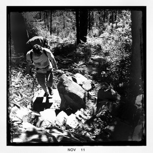
 Last week Greg and I walked up to the top of the North and South Jawbone Peaks in the Cathedral Range State Park. I was really keen to check out the new trail work on the Jawbone Track leading up to the Farmyard. The 2009 Black Saturday bushfires really hammered this part of the range and, while this trail has always suffered from erosion issues, the fires made things a whole lot worse.
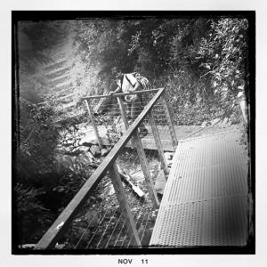
The initial walk up from the Jawbone Carpark is nicely contoured and Parks Victoria have replaced the original bridge over MacLennans Gully with a new steel construction. Hopefully this bridge will withstand future low and medium intensity fires. Personally I can’t see the need for expensive bridges spanning minor water courses that for 98% of the year can be easily stepped over, although I’m sure most walkers will welcome the convenience.
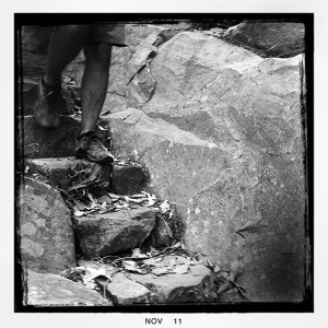
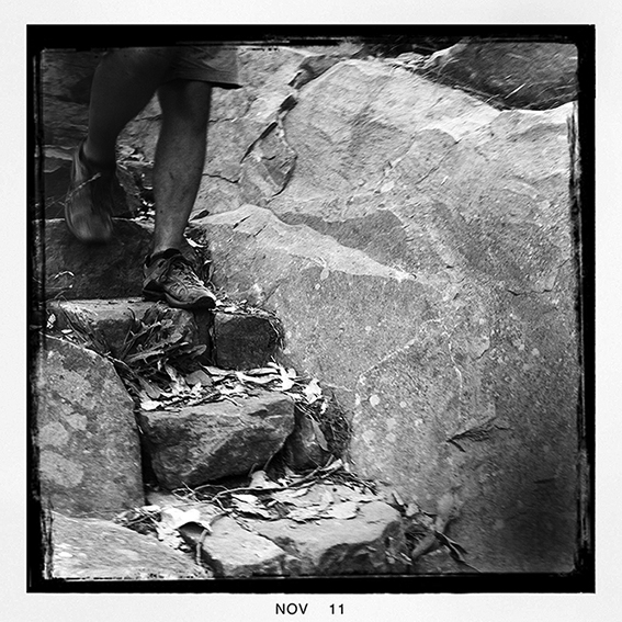
 The trail up to the first rocks was realigned quite a few years back and it is still in excellent condition. From the rocks the trail cuts across to Jawbone Creek, crosses it and then climbs steeply up to The Farmyard. This section and the trail has always suffered from bad erosion and the 2009 Black Saturday bushfires made things a whole lot worse. If you’ve hiked up to the Jawbone Peaks since the park was reopened after the fires you will know that work on this trail has been progressing for sometime. As it is Parks Victoria and their contractors have done an excellent job. The careful placement and seating of large blocks (and all without the use of cement) means that the trail will be far more resilient to heavy foot traffic and now blends in really well with the natural surroundings. Two thumbs up for a job well done.
From The Farmyard we continued up to the top of South Jawbone Peak. Essentially the trail to the summit is okay but is now so overgrown as to be difficult to follow. In fact I would say that the regrowth is far thicker now than it was before the 2009 fires. What a difference a couple of years makes! While the hazel pomaderris is especially thick, it is the kangaroo wattle (or prickly wattle, acacia paradoxa) that is making life difficult for walkers.
Most likely much of this regrowth will die off over the next few years as the forest re-establishes itself, but in the meantime it’s a real pain. Maybe Parks Victoria should send in a crew to re-cut the trail although I’m not sure exactly how long this would last. Luckily the trail up to North Jawbone Peak is much better, but there are still short sections of thick regrowth and the kangaroo wattle is growing strongly on the upper rocks near the summit.


Hi Glenn. Thanks for the info. It is very useful as it is so current. I’m looking for an easy overnighter as a first bushwalk with my 14 YO daughter and this seemed just right particularly as I have done it myself 30 years ago…..until I got to the bit about the kangaroo wattle. Bummer. Anyway, I’ve just bought 3 books from your online store this arvo. Perhaps one will list a few other suitable walks. Cheers, Kim
Hi Kim. The walk up to The Farmyard has no real problems with Kangaroo Wattle and it is still easy to get up to the top of North Jawbone Peak from there. The ascent up South Jawbone Peak is however pretty overgrown. The spring just below The Farmyard (on Jawbone Track) is still flowing so you can get good water there.
Hi Glen, what a fantastic follow up to your book, which I find invaluable. A group of us have undertaken the Two Bays Walking Track and your Walk into History trail and enjoyed them both mmensely. We have done other hikes too, and we are now planning to hike your Cathedral Range Circuit as our next challenge in March, and have two questions please. Firstly, is there somewhere (safe-ish) to park the car at Cook’s Mill or do you suggest we park in Buxton and try to organise transport to/from there? And secondly, some of your notes regarding scrambling at the 5.2km section and the mention of the abrupt drops from the 6.2km section has us wondering if it is a safe hike, any further comments would be appreciated. Again, love your book, Chris
Hi Chris. Really pleased you like my guide. The Cathedral Range Circuit is an excellent walk and is quite different post bushfires (more views are a plus). All of the trails are again open and there is new signage throughout the park. It should be fine to leave your car at Cooks Mill. I’ve never heard of any issues. We have left our cars in the carpark here in the past with no probs. The scrambling involved on Sugarloaf Peak is very straightforward in good weather. People only have issues wen it is wet (or snowing!). Avoid the hike then. The only bad part of the walk is the walk up Cerberus Road. It’s a bit of a slog. There is a new link trail being constructed as we speak. It links Cooks Mill with Sugarloaf Saddle and will allow walkers to avoid any road walking. This has been a long time coming. You can phone PV to check on when they think it will be opening. Personally I’d be suprised if it opens before late spring. Hope this helps.