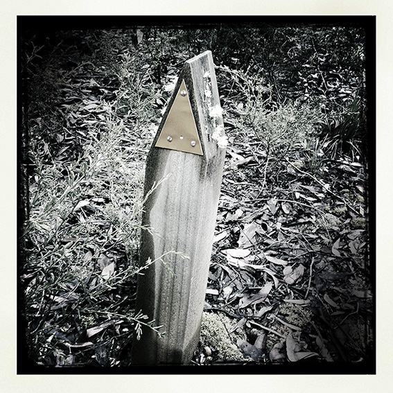
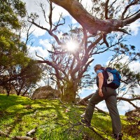
Check out our Trail Watch report card, which covers many of Victoria’s most popular parks and reserves. These ratings indicate the overall quality of a parks walking trails based on construction and maintenance, and how clearly they are signposted. Admittedly these ratings are fairly general, but it will give walkers a chance to gauge just… Continue reading Trail Watch
Category: WALKING
Ninety Nine Years Around Powelltown
Each spring I set aside a day to walk the remarkable tramways that weave through the forested hills surrounding Poweltown in the upper reaches of the Yarra Ranges. In 1912 Poweltown was born when the Powell Wood Processing Company opened a large mill on the banks of the Little Yarra River. The steam train had… Continue reading Ninety Nine Years Around Powelltown
Maps, Meridians and the Whole Damm Mess
As spring quickly approaches I thought this would be a good time to go over a few navigational basics and explain how they relate to our new walking guides. In 2000 Australia changed over to GDA94 (Geocentric Datum of Australia), which was defined in 1994 and based on WGS84 (the World Geocentric System developed in… Continue reading Maps, Meridians and the Whole Damm Mess
Mt Beckworth Walking Trails
We visited Mt Blackwood Scenic Reserve last weekend to check out the local walks and finalise the relevant GPS data and details. We are featuring one of the park’s walks in our forthcoming walking guide to The Goldfields. The park has only recently reopened after the storm damage that occurred in January 2011 and Parks… Continue reading Mt Beckworth Walking Trails
Winter in Wyperfeld
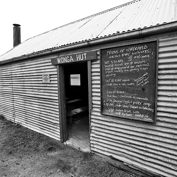
If you have ever wanted to visit Victoria’s semi-arid desert regions, then winter and early spring is the best time to do so. These pics were shot in early July at Wonga Campground in Wyperfeld National Park, about 440km northwest of Melbourne. Wonga Campground is an ideal place to base yourself as it provides a… Continue reading Winter in Wyperfeld
Werribee Gorge – Halfway a Park
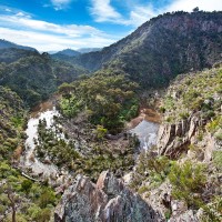
Greg and I took advantage of a perfect mid-winter Saturday and descended into Werribee Gorge via Western Bluff and Needles Ridge, one of my favourite daywalks close to Melbourne. This excellent walking trail into the gorge is arguably the most spectacular in the park. I use the word ‘arguably’ since this ridge is in fact on… Continue reading Werribee Gorge – Halfway a Park
Goldfield Chimneys
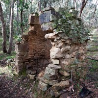
Over the last few months I’ve been spending quite a bit of time in the bush checking details for our forthcoming walking guide, The Goldfields. Having now walked several hundred kilometres of trails I’ve become increasingly fascinated by the 150-year-old stone chimneys which litter much of the region. These crumbling structures appear in the most… Continue reading Goldfield Chimneys
Three Lost Children Walk
One of the walks we are writing up for our forthcoming walking guide to the Goldfields is the route followed by three children that went missing from Daylesford on the on the last day of June in 1867. William Graham (6), his brother Thomas (4) and Alfred Burman (5) decided to look for wild goats… Continue reading Three Lost Children Walk
Why is the Anakie Gorge Walk Closed?
The January 2011 rains did a considerable amount of damage across the state and Parks Victoria (and other public land managers) correctly responded by limiting access to a number of parks and reserves while risk assessments were carried out. In some cases parks were closed in their entirety (You Yangs Regional Park and Mount Beckworth… Continue reading Why is the Anakie Gorge Walk Closed?
Daywalks Around Victoria Updates & Corrections
Walk 2 (Lorne Forest Walk) p16. Kalimna Falls Walking Track and Link Track are currently closed. You can complete the walk by following Garvey Track (from Sheoak Picnic Area) to Sheoak Track. The alternative walk (Sheoak Picnic Area to Swallow Caves) is also closed. Check out http://www.parkweb.vic.gov.au for further details. Walk 4 (Around Aireys Inlet)… Continue reading Daywalks Around Victoria Updates & Corrections
