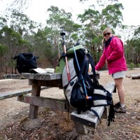
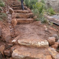
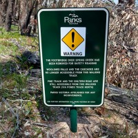
The Burchell Trail has seen some major realignments. These changes effect a number of walks in our Daywalks Around Melbourne and Weekend Walks Around Melbourne guides. These changes are indicated on the new 1:30,000 Brisbane Ranges National Park map by Meridian Maps. Anyone undertaking the Burchell Trail or walks utilising sections of this walk should… Continue reading The Burchell Trail Update (Brisbane Ranges)
Tag: bushwalking
Cathedral Range Visitor Updates
With plenty of work going on at the Cathedral Ranges, thought it would be good idea to get the information around. Not only are there major works going on with tracks, the new shelter and toilet facility is being built in the Sugarloaf area along with an Information Board to give visitors a little background… Continue reading Cathedral Range Visitor Updates
Beechworth Historic Park
Karen and I were up at Beechworth Historic Park in North East Victoria last Sunday to complete the research on the last walk to be included in our forthcoming Daywalks Around Victoria guidebook. Unfortunately things didn’t go as planned and in the end we decided to drop the walk from the book. Before I launch… Continue reading Beechworth Historic Park
Major Mitchell Plateau
I finally ticked the Major Mitchell Plateau walk this weekend. I’ve been meaning to do the trail for some time but we have had a pretty wet and cold winter here in Victoria, which kept me away from the Grampians. Karen was still suffering from a virus she caught earlier in the week and decided… Continue reading Major Mitchell Plateau
Mt Rosea and Sundial Peak
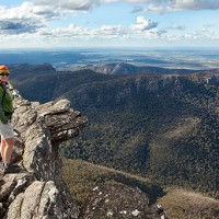
Karen and I drove up to Mt Rosea in the Grampians National Park last weekend to complete one of our walking circuits for the forthcoming Daywalks Around Victoria guidebook. This very scenic loop passes along the southern end of the Wonderland Range via Sundial Peak and culminates in an ascent of Mt Rosea, one of… Continue reading Mt Rosea and Sundial Peak
Northern Australia, 2010
[smugmug url=”http://openspaces.smugmug.com/hack/feed.mg?Type=gallery&Data=13667270_4Anuv&format=rss200″ imagecount=”100″ start=”1″ num=”100″ thumbsize=”Th” link=”smugmug” captions=”true” sort=”true” window=”false” smugmug=”false” size=”M”]
ESTA
Since we discussed Mobile Phones and Emergency Numbers we received a few queries as to who exactly is the Emergency Services Telecommunications Authority (ESTA) and what is their function. In Victoria the emergency service dispatch and call-taking for police, metropolitan ambulance, and both rural and metropolitan fire services, is handled by the Emergency Services Telecommunications… Continue reading ESTA
Wild Magazine covers Mt Giles
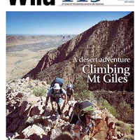
The new issue of Wild magazine (119) is hot off the press and features a spectacular cover shot by our own Glenn Tempest. The image captures Karen Tempest, Michael Hampton and Stuart Imer ascending the classic South Ridge of Mt Giles in the remote Chewings Range, West MacDonnell National Park in the Northern Territory. The… Continue reading Wild Magazine covers Mt Giles
Mobile Phones and Emergency numbers
After all the discussions we have had regarding the Emergency Markers (in Lerderderg Gorge State Park) I thought it would be a good time to discuss mobile phones and the correct emergency numbers to be used by walkers, climbers and skiers. These days, in the event of an emergency, people undertaking outdoor activities in the… Continue reading Mobile Phones and Emergency numbers
Parks Victoria Entry changes
Just reminding everyone using our walking guidebooks that entry to all Victorian parks (managed by Parks Victoria) is now free. This came into effect on the 01 July 2010 and marks a major policy shift for Parks Victoria. Wilsons Promontory National Park Point Nepean National Park Werribee Park Mount Buffalo National Park Baw Baw National… Continue reading Parks Victoria Entry changes
