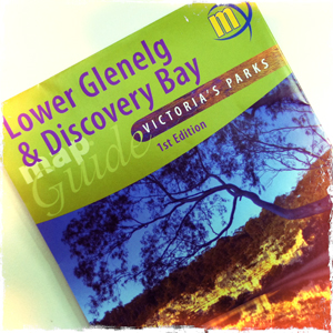
Open Spaces sells a number of the highly regarded Meridian Maps so we thought it a good opportunity to share the news of their latest map release. In their first map co-production Meridian Maps and Carto Graphics have produced a double sided 1:50,000 topographic scaled map that covers the Glenelg River from Dartmoor down to… Continue reading Meridian Maps & the Great South West Walk
Author: Open Spaces
Information, updates and news items are supplied by Open Spaces administration and may be sourced via our staff, authors, clubs and various land managers such as Parks Victoria.
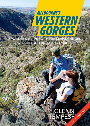
Melbourne’s Western Gorges
Great news. Our forthcoming new title, Melbourne’s Western Gorges was handed off to the printers this morning. As long as there are no unexpected delays we expect to see it in our warehouse on the 09 December, just in time for Christmas. This will be the first in a new A5 series of walking guides… Continue reading Melbourne’s Western Gorges
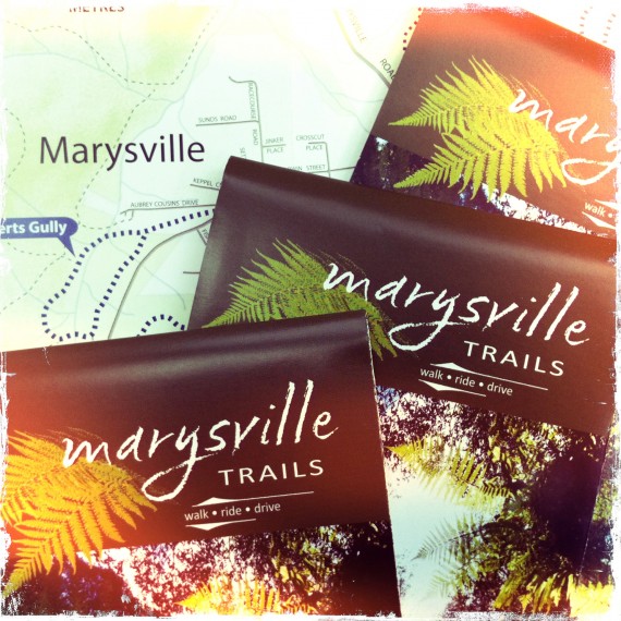
New Marysville Trails Brochure
Parks Victoria (in conjunction with the Department of Sustainability and Environment) have just released the new Marysville Trails brochure. Open Spaces was commissioned to write the text. Following the Black Saturday bushfires in 2009 pretty much all of the walking trail infrastructure in and around Marysville was wiped out. Parks Victoria and DSE have done… Continue reading New Marysville Trails Brochure
Trail Watch
Check out our Trail Watch report card, which covers many of Victoria’s most popular parks and reserves. These ratings indicate the overall quality of a parks walking trails based on construction and maintenance, and how clearly they are signposted. Admittedly these ratings are fairly general, but it will give walkers a chance to gauge just… Continue reading Trail Watch
Maps, Meridians and the Whole Damm Mess
As spring quickly approaches I thought this would be a good time to go over a few navigational basics and explain how they relate to our new walking guides. In 2000 Australia changed over to GDA94 (Geocentric Datum of Australia), which was defined in 1994 and based on WGS84 (the World Geocentric System developed in… Continue reading Maps, Meridians and the Whole Damm Mess
Winter in Wyperfeld
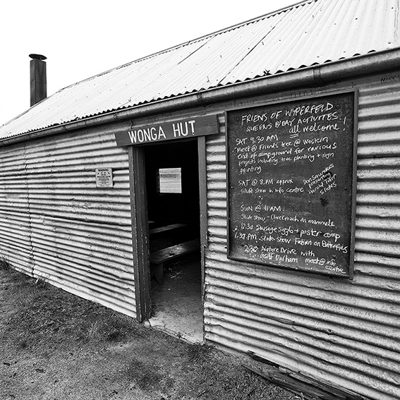
If you have ever wanted to visit Victoria’s semi-arid desert regions, then winter and early spring is the best time to do so. These pics were shot in early July at Wonga Campground in Wyperfeld National Park, about 440km northwest of Melbourne. Wonga Campground is an ideal place to base yourself as it provides a… Continue reading Winter in Wyperfeld
Daywalks Around Victoria Updates & Corrections
Walk 2 (Lorne Forest Walk) p16. Kalimna Falls Walking Track and Link Track are currently closed. You can complete the walk by following Garvey Track (from Sheoak Picnic Area) to Sheoak Track. The alternative walk (Sheoak Picnic Area to Swallow Caves) is also closed. Check out http://www.parkweb.vic.gov.au for further details. Walk 4 (Around Aireys Inlet)… Continue reading Daywalks Around Victoria Updates & Corrections
Ben Lomond Guide update (3) As of 17/5/2013
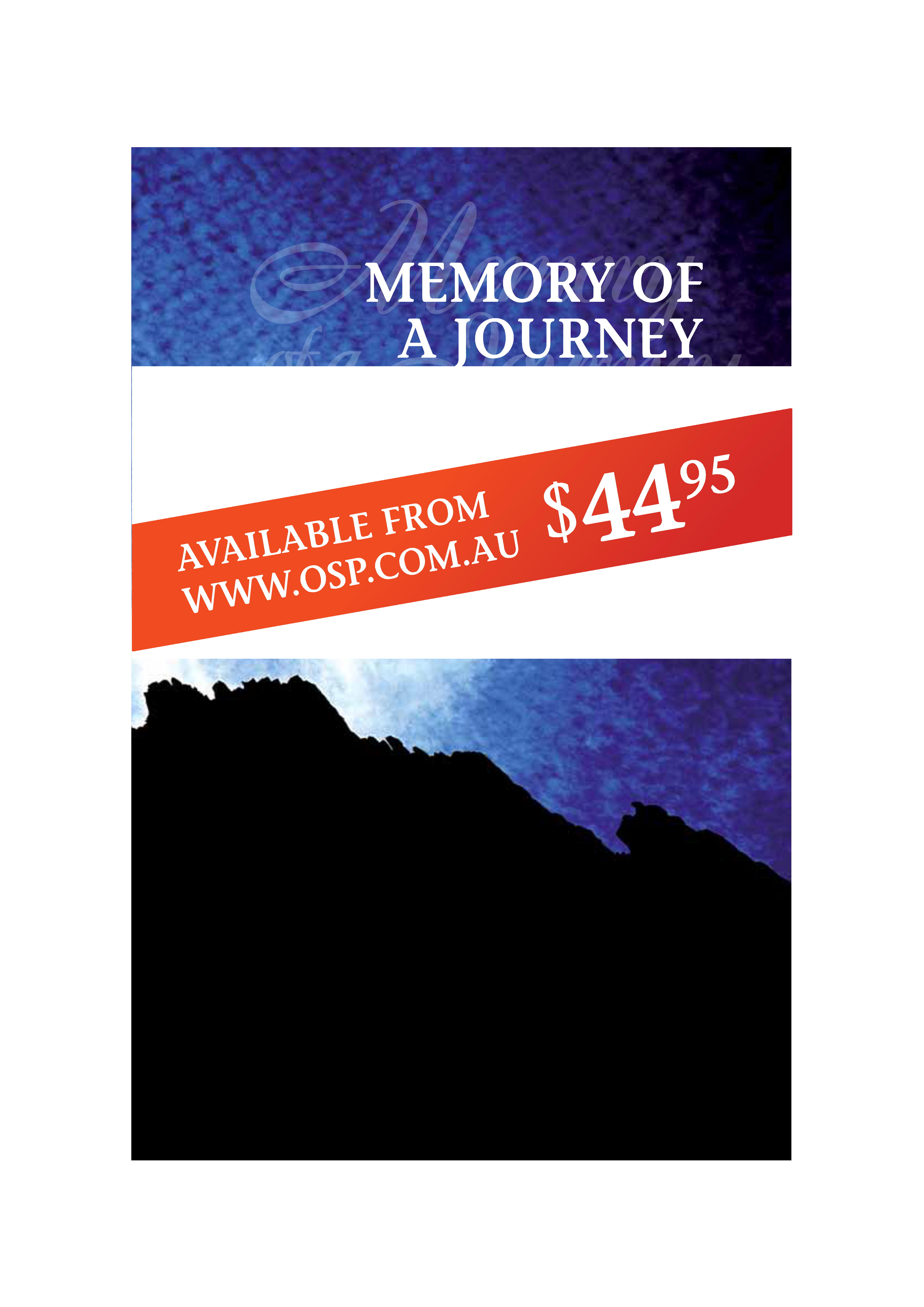
Memory Of A Journey, the climbing guide to Ben Lomond, was published in November 2008. For those of you who already own the guide and have climbed at Ben Lomond, you will know that it is the premier crack climbing venue in Australia. The guidebook was comprehensive up until 2008, giving route descriptions and topo… Continue reading Ben Lomond Guide update (3) As of 17/5/2013
Barrk Walk (Northern Territory)
A pleasant daywalk in Kakadu National Park, Northern Territory Download this walk to view on your GPS (.gpx) Download this walk to view in Google Earth (.kmz) [gmap width=”580px” height=”580px” type=”satellite” static=”false” control=”satellite,navigation,scale” photo_icon=”thumbnail” file=”http://osp.com.au/gps/barrk.gpx”]
Grampians Flood update
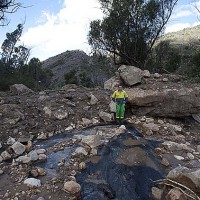
Following the recent heavy rains and ensuing floods, many of the parks in Victoria have closures in place. Either full closures like the You Yangs or partial closures such as the Grampians. In regards to the Grampians, a huge amount of the park took a beating – with landslides and road collapse hitting the top… Continue reading Grampians Flood update
