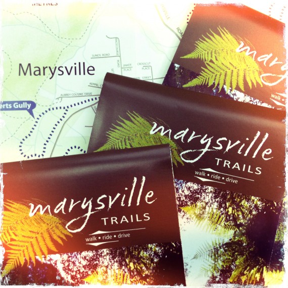
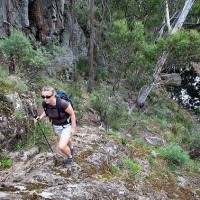
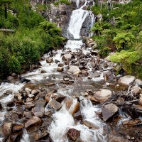
Parks Victoria (in conjunction with the Department of Sustainability and Environment) have just released the new Marysville Trails brochure. Open Spaces was commissioned to write the text. Following the Black Saturday bushfires in 2009 pretty much all of the walking trail infrastructure in and around Marysville was wiped out. Parks Victoria and DSE have done… Continue reading New Marysville Trails Brochure
Category: Daywalks Around Melbourne
Ninety Nine Years Around Powelltown
Each spring I set aside a day to walk the remarkable tramways that weave through the forested hills surrounding Poweltown in the upper reaches of the Yarra Ranges. In 1912 Poweltown was born when the Powell Wood Processing Company opened a large mill on the banks of the Little Yarra River. The steam train had… Continue reading Ninety Nine Years Around Powelltown
Werribee Gorge – Halfway a Park
Greg and I took advantage of a perfect mid-winter Saturday and descended into Werribee Gorge via Western Bluff and Needles Ridge, one of my favourite daywalks close to Melbourne. This excellent walking trail into the gorge is arguably the most spectacular in the park. I use the word ‘arguably’ since this ridge is in fact on… Continue reading Werribee Gorge – Halfway a Park
Why is the Anakie Gorge Walk Closed?
The January 2011 rains did a considerable amount of damage across the state and Parks Victoria (and other public land managers) correctly responded by limiting access to a number of parks and reserves while risk assessments were carried out. In some cases parks were closed in their entirety (You Yangs Regional Park and Mount Beckworth… Continue reading Why is the Anakie Gorge Walk Closed?
Lerderderg Gorge Flood Damage
Karen and I completed a walk last weekend in Lerderderg State Park linking Short Cut Track, Trout Track and Clear Water Creek / Ambler Lane. We finished the walk along a short stretch of the Lerderderg River back to O’Briens Crossing. It was an excellent outing and will almost certainly be included in our forthcoming… Continue reading Lerderderg Gorge Flood Damage
Marysville Trails 2011
Following the Black Saturday bushfires in 2009 pretty much all of the walking trail infrastructure in and around Marysville had been wiped out. I was in no doubt that repairs, rebuilding and realignments of this trail network would be at least a few years away. These fires meant that users of our Daywalks Around… Continue reading Marysville Trails 2011
Walk 80 (Dandenong Ranges)
Walk 80 (Olinda Falls) The northern half of VW Track has been permanently closed which means that this walk cannot be completed as described. See p.193 and use this map to continue walking down Olinda Creek Road to return via Bartlett and Barges Track. This will add at least 2km to the total distance as… Continue reading Walk 80 (Dandenong Ranges)
The Burchell Trail Update (Brisbane Ranges)
The Burchell Trail has seen some major realignments. These changes effect a number of walks in our Daywalks Around Melbourne and Weekend Walks Around Melbourne guides. These changes are indicated on the new 1:30,000 Brisbane Ranges National Park map by Meridian Maps. Anyone undertaking the Burchell Trail or walks utilising sections of this walk should… Continue reading The Burchell Trail Update (Brisbane Ranges)
Parks Victoria Entry changes
Just reminding everyone using our walking guidebooks that entry to all Victorian parks (managed by Parks Victoria) is now free. This came into effect on the 01 July 2010 and marks a major policy shift for Parks Victoria. Wilsons Promontory National Park Point Nepean National Park Werribee Park Mount Buffalo National Park Baw Baw National… Continue reading Parks Victoria Entry changes
Walk 61, 62, 63, & 64 (Marysville)
Walk 61, 62, 63, & 64 (Marysville) Walk 61 (Island Hop & Red Hill) is now open. Walk 62 (Keppel Lookout & Stevenson Falls) is largely closed. Yellow Dog Picnic Area and Stevensons Falls are closed as is the walking trail linking them. The walking trail to Oxlee and De La Rue Lookouts from Keppel… Continue reading Walk 61, 62, 63, & 64 (Marysville)
