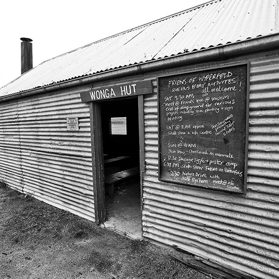
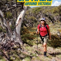
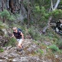
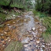
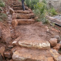
If you have ever wanted to visit Victoria’s semi-arid desert regions, then winter and early spring is the best time to do so. These pics were shot in early July at Wonga Campground in Wyperfeld National Park, about 440km northwest of Melbourne. Wonga Campground is an ideal place to base yourself as it provides a… Continue reading Winter in Wyperfeld
Category: Daywalks Around Victoria
Werribee Gorge – Halfway a Park
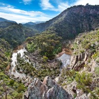
Greg and I took advantage of a perfect mid-winter Saturday and descended into Werribee Gorge via Western Bluff and Needles Ridge, one of my favourite daywalks close to Melbourne. This excellent walking trail into the gorge is arguably the most spectacular in the park. I use the word ‘arguably’ since this ridge is in fact on… Continue reading Werribee Gorge – Halfway a Park
Goldfield Chimneys
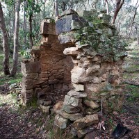
Over the last few months I’ve been spending quite a bit of time in the bush checking details for our forthcoming walking guide, The Goldfields. Having now walked several hundred kilometres of trails I’ve become increasingly fascinated by the 150-year-old stone chimneys which litter much of the region. These crumbling structures appear in the most… Continue reading Goldfield Chimneys
Daywalks Around Victoria Updates & Corrections
Walk 2 (Lorne Forest Walk) p16. Kalimna Falls Walking Track and Link Track are currently closed. You can complete the walk by following Garvey Track (from Sheoak Picnic Area) to Sheoak Track. The alternative walk (Sheoak Picnic Area to Swallow Caves) is also closed. Check out http://www.parkweb.vic.gov.au for further details. Walk 4 (Around Aireys Inlet)… Continue reading Daywalks Around Victoria Updates & Corrections
New Title: Daywalks Around Victoria
My latest walking guide, Daywalks Around Victoria, will be in the shops tomorrow. The Open Spaces team (Katherine, Tracey, Ti and I) have worked on this guide over the last year or so and we believe it sets a new benchmark in Australian walking guidebook design. It also marks a major step towards our aim… Continue reading New Title: Daywalks Around Victoria
Mt Kooyoora
One of the 36 walks we are featuring in our soon to be released Daywalks Around Victoria will be a traverse across the summit ridge of Mt Kooyoora, the most northerly mountain in the central Victorian goldfields area. Mt Kooyoora State Park is a real gem and is located 220km northwest of Melbourne, about 35min… Continue reading Mt Kooyoora
Lerderderg Gorge Flood Damage
Karen and I completed a walk last weekend in Lerderderg State Park linking Short Cut Track, Trout Track and Clear Water Creek / Ambler Lane. We finished the walk along a short stretch of the Lerderderg River back to O’Briens Crossing. It was an excellent outing and will almost certainly be included in our forthcoming… Continue reading Lerderderg Gorge Flood Damage
The Pyrete Range (Lerderderg Gorge)
In recent months I’ve been spending quite a bit of time exploring the Pyrete Range, an isolated block of mountainous bushland on the eastern side of the Gisborne to Bacchus Marsh Road and a fairly recent addition to the Lerderderg State Park. Despite its nearness to the western suburbs of Melbourne (less than 15km) this… Continue reading The Pyrete Range (Lerderderg Gorge)
Cathedral Range Visitor Updates
With plenty of work going on at the Cathedral Ranges, thought it would be good idea to get the information around. Not only are there major works going on with tracks, the new shelter and toilet facility is being built in the Sugarloaf area along with an Information Board to give visitors a little background… Continue reading Cathedral Range Visitor Updates
A Walk in Walhalla
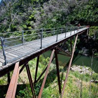
After the Beechworth walk didn’t muster up to expectations I decided to check out the walking potential of the Walhalla region instead. I only had one more walk to include in our soon to be published Daywalks Around Victoria and Walhalla’s historic tramwaysd seemed to tick all of the necessary boxes for possible inclusion. Just… Continue reading A Walk in Walhalla
