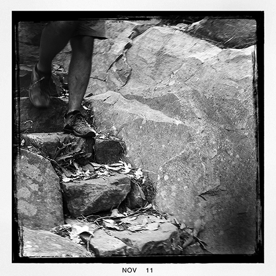
Last week Greg and I walked up to the top of the North and South Jawbone Peaks in the Cathedral Range State Park. I was really keen to check out the new trail work on the Jawbone Track leading up to the Farmyard. The 2009 Black Saturday bushfires really hammered this part of the range… Continue reading Jawbone Track Repairs Finished
Category: WALKING
Jetboil Sol Ti Stove Review
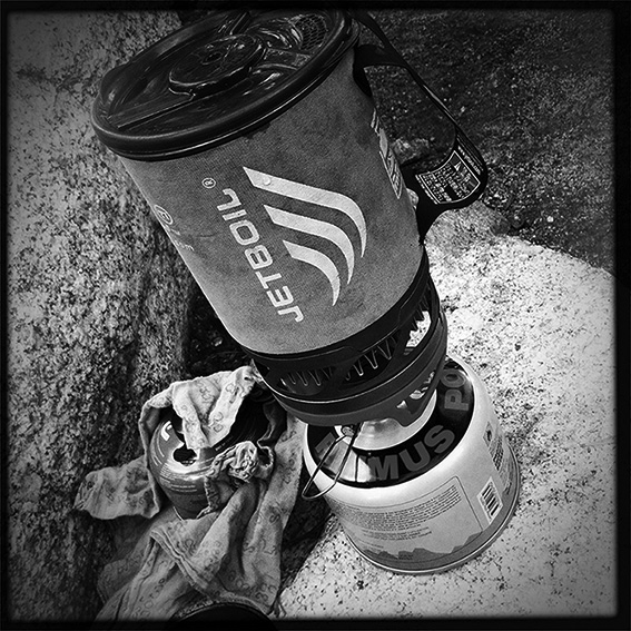
For the last six years or so I’ve been using the Jetboil cooking system and I have to say it has performed flawlessly (except for the piezoelectric push-button igniter, which has never really worked for me). Lately though I’ve been shaving the weight I carry and when I heard about the Jetboil Sol Ti I… Continue reading Jetboil Sol Ti Stove Review
Mt Alexander Regional Park: Walking Trails Falling Into Disrepair
I was up at Mt Alexander Regional Park on Sunday checking out the main walking trail loop for our forthcoming guidebook, The Goldfields. I’ve done the Mt Alexander walk at least four times, the last time in 2005 for our Daywalks Around Melbourne guide. What really struck me on Saturday was just how run-down the… Continue reading Mt Alexander Regional Park: Walking Trails Falling Into Disrepair
Food For Thought
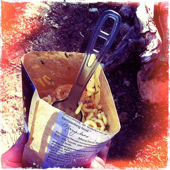
One of the things that surprised me during our recent 24-day walk along California’s John Muir Trail was how popular the instant (dehydrated or freeze-dried) food pouches are in the United States. We saw a lot of people at various campsites along the way and I can’t think of seeing anyone cooking in a… Continue reading Food For Thought
John Muir Trail

I’ve finally uploaded some of my images from our recent walk across California’s John Muir Trail. The walk links Yosemite Valley and Mt Whitney and took us 24 days to complete. I’ve started captioning the images but it will be a few weeks before they are all completed. [smugmug url=”http://openspaces.smugmug.com/hack/feed.mg?Type=gallery&Data=18989698_ZjMNpc&format=rss200″ imagecount=”24″ start=”1″ num=”100″ thumbsize=”Th”… Continue reading John Muir Trail
Meridian Maps & the Great South West Walk
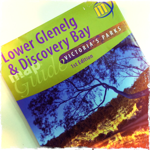
Open Spaces sells a number of the highly regarded Meridian Maps so we thought it a good opportunity to share the news of their latest map release. In their first map co-production Meridian Maps and Carto Graphics have produced a double sided 1:50,000 topographic scaled map that covers the Glenelg River from Dartmoor down to… Continue reading Meridian Maps & the Great South West Walk
Melbourne’s Western Gorges
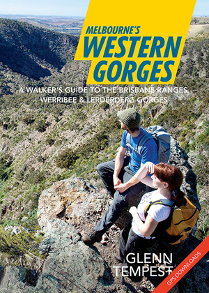
Great news. Our forthcoming new title, Melbourne’s Western Gorges was handed off to the printers this morning. As long as there are no unexpected delays we expect to see it in our warehouse on the 09 December, just in time for Christmas. This will be the first in a new A5 series of walking guides… Continue reading Melbourne’s Western Gorges
SolarMio. Power on the Move
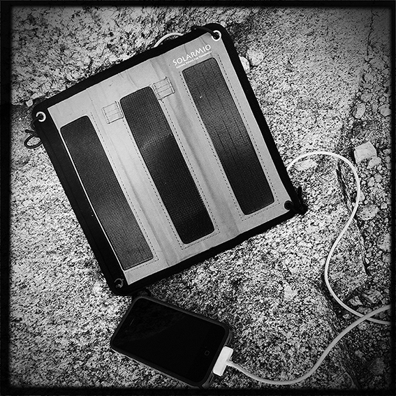
Our recent trip to the United States to do the John Muir Trail was the perfect opportunity for me to try out my latest gizmo, a SolarMio 3 lightweight solar panel. We planned to do the walk over 24 days and I wanted to take along my Apple iPhone. I was hoping the SolarMio… Continue reading SolarMio. Power on the Move
New Marysville Trails Brochure
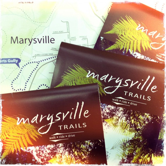
Parks Victoria (in conjunction with the Department of Sustainability and Environment) have just released the new Marysville Trails brochure. Open Spaces was commissioned to write the text. Following the Black Saturday bushfires in 2009 pretty much all of the walking trail infrastructure in and around Marysville was wiped out. Parks Victoria and DSE have done… Continue reading New Marysville Trails Brochure
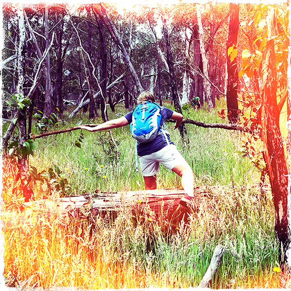
The John Muir Trail
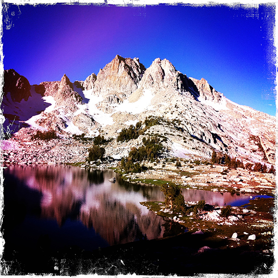
Karen and I just got back from walking the John Muir Trail in the Sierra Nevada Mountains in California, USA. The John Muir Trail is one of the most spectacular hiking trails in the world and is regarded as the most scenic in the United States. The trail begins in Yosemite National Park and continues… Continue reading The John Muir Trail
